
Needing to start a place with all of my "notes" in one spot. Guess this could be it. If you know of an answer update to this please post it up and I will update this. Goal is to have one of these for each OHV area in our neighborhood. This will be the GPNF one.
Key Recreation Contact: Who is the Malcom and Kathleen of the GPNF?
OHV Specialist: Who is the OHV specialist, do they vary by district?
Current MVUM: https://www.fs.usda.gov/detailfull/giffordpinchot/home/?cid=stelprdb5289777&width=full
Current Land Management Plan: https://www.fs.usda.gov/Internet/FSE_DOCUMENTS/stelprdb5444081.pdf
High-Clearance Routes: Approximately 2,000 miles of the Forest road system will be managed to encourage high-clearance vehicles and discourage highway vehicles.
Off-Road Vehicle (ORV) Trails: The Forest Trail System designates specific trails for ORV use, providing a variety of opportunities from Semi-Primitive Motorized to Roaded Modified. the objective is to develop loop trail systems and to minimize resource damage and conflicts with other recreationists. Off-trail travel by ORVs will generally not be permitted, except for oversnow machines. The objective for motorized trails will be developed on a mile-for-mile basis during the first decade; i.e., before a mile of trail can be closed to motorized use, a replacement mile must be made available elsewhere on the Forest for motorized use.
Approximately 10 miles of motorized trail will be available for ATV use within the first
decade. Additionally, during the first decade, two to three areas with six to ten miles each of four-wheel drive routes will be established. Further study is required prior to establishing specific four-wheel drive routes.
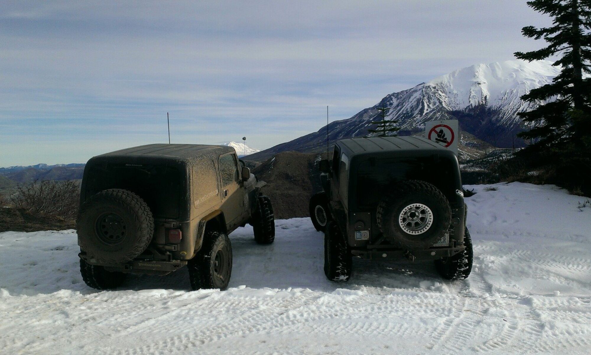
I dont know what the name for these areas are yet, so... deal wid it. but I think I found the 2-3 areas they mention in the Management Plan.
Blue Hole: 127300 Blue Hole, North of HWY 12, la wis wis picnic area.
Kalama Horse Camp? The 8100420 road
Adams fork: N Eastern GP
It doesn't look like any provide a loop (at least according to the map) which the management plan called for. The management plan also references reviewing / updating the Travel Management Plan annually, not sure what the process is for that. Perhaps this is just maintenance of the MVUM? Would like to know how that process works.
Hmm... Ok Thats a decent start for a couple hours of google.